
Southgate Neighbors by Block
Southgate neighbors are best researched through a small group of records with distinct roles. The Wayne County Parcel Viewer establishes parcel geometry. The Southgate BS&A search supplies current assessed-owner, situs, and mailing information. Recorded documents establish title history, while civic pages identify public contacts. A current owner on a parcel card is not necessarily the person living at that address.
| Source | What it shows about a block | Access |
|---|---|---|
| Wayne GIS Parcel Viewer | Parcel polygons, road or alley context, map layers, and parcel identifiers | Public map with pan, zoom, and feature selection |
| Southgate BS&A | Current assessed owner, situs, parcel, and possible tax mailing address | Free address, name, or parcel search |
| Wayne Register of Deeds | Transfers, grantors, grantees, legal descriptions, and document history | Free limited name index; expanded search, office, or mail as needed |
| MVIC and QVF | An individual voter record or a lawful geography or precinct request | Personalized lookup or formal request with statutory redactions |
| Southgate civic pages | Named appointees, public terms, and department contacts | City website, not a neighborhood membership roster |
| Polk and Bresser volumes | Historic first-listed household clues, street sections, and phone entries | Library or genealogy-society collections |
| Building and code files | Address-based projects, notices, or responsible-party evidence where public | BS&A, city department, or records request |
Keep each result in its own lane. GIS proves the relationship between parcels, not who lives there. The assessment record concerns a parcel and its current assessed owner. A deed can help verify title history. Historical directories may offer a past street clue. None of those records prove every present household member. Note: Save the date checked beside every parcel result because a title or assessment record can change.
Mapping a Southgate Block
Use a GIS-first process for the immediate Southgate block. Find the target parcel by address or map, select it, and copy its parcel ID and legal description. Zoom out one level, then identify the polygons to the north, east, south, and west, plus lots that touch the parcel or lie directly across the street. Southgate is a compact 6.88-square-mile city with dense postwar subdivisions, so street centerlines and parcel lines can be close enough to create a false neighbor match.
- Locate the target parcel in the Wayne County Parcel Viewer and record its parcel ID, situs, and legal description.
- Move out one zoom level. Select adjoining polygons and any directly opposite parcel, recording each direction separately.
- Open each parcel in Southgate BS&A. Compare the same parcel ID, situs, current assessed owner, and mailing field before treating it as the same lot.
- Search the owner or legal description in the Register of Deeds to check the title trail. For a full named-street chain, use the Southgate street directory.
The county describes pan, zoom, feature selection, and analysis in some cases. It does not confirm a current neighbor-buffer control or its label, so no fixed buffer distance should be claimed. Where a parcel edge, alley, or street centerline is unclear, use the legal description and assessed parcel ID before deciding two lots are adjacent.
The Wayne County deed-fraud unit page is a useful reminder to confirm a title question with recorded documents, not a map label alone.
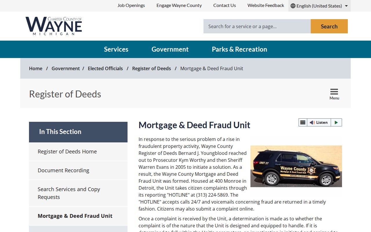
The county’s Fraud Guard and deed-fraud reporting tools serve suspected document problems. They do not replace the Register of Deeds search, a clerk record, or professional title advice.
Southgate Neighbor Voter Records
MVIC is a voter’s own personalized record lookup, not a public map of Southgate neighbors. It can return registration status, voting address, polling place, precinct, district information, ballot details, and a clerk route for the individual whose information is entered. Michigan does not register people by party, and a voter record does not establish who else is present at the address. Southgate’s clerk can route local election information and precinct questions.
| Lawful record layer | Limit to keep in view |
|---|---|
| MVIC individual result | Confirms a voter record and election geography, not a block roster. |
| QVF jurisdiction or precinct request | Uses a formal Michigan request and may be narrowed by county, jurisdiction, district, or precinct. |
| Public voter fields | May include name, address, year of birth, status, registration date, and history where lawfully requested. |
| Withheld fields | MCL 168.509gg excludes ID numbers, month and day of birth, phone, email, signature, and other protected fields. |
The Southgate City Clerk election page provides the official local election and precinct route.
A precinct is election geography, not a list of Southgate neighbors. Protected participants in the Michigan Address Confidentiality Program can use a substitute address.
Southgate Civic Contact Layer
Public civic contacts can add local context without becoming a neighborhood directory. Southgate publishes boards and commissions with member names and terms. Its roster includes the Historical Foundation, Library Commission, Plan Commission, Board of Review, Board of Zoning Appeals, and Parks and Recreation Commission. These are public appointments and community contacts. They do not establish who belongs to a particular block or neighborhood.
Historical Foundation
City-published civic context and community-memory contact route.
Library Commission
Public library governance and a route to local-history questions.
Plan Commission
Public planning context for plats, projects, and community development.
Board of Review
Assessment-related public body, separate from a parcel owner search.
The Southgate boards and commissions page shows this civic roster.
Ask a civic group what it voluntarily shares. Do not assume a public board list identifies neighborhood membership or a private contact address.
Southgate Old Homestead Context
Southgate’s local geography changes how block records read. Old Homestead on the east side is identified by the city and Wayne County profile as one of the older residential areas. Most Southgate neighborhoods developed from 1940 through 1980, following the city’s transition from Ecorse Township farmland to a postwar municipality. A historic parcel may therefore have a township or tract-development context that is not obvious from a current street address.
For a past Southgate block, look for Polk or Bresser criss-cross directory volumes through the Southgate Veterans Memorial Library, the Library of Michigan, or the Downriver Genealogical Society. The society covers 18 Downriver communities and lists city directories, title abstracts, death indexes, funeral material, and Southgate Sentinel resources. Exact Southgate years should be confirmed with the holding institution. A historic first-listed name is a dated directory clue, not present-day proof.
Southgate Association Record Limits
Southgate does not publish a citywide neighborhood-association directory or confirmed neighborhood boundaries. A private Southgate homeowners group publishes a board contact route and newsletter archive, but no complete public roster or definitive boundary. The Downriver Genealogical Society is a regional research resource, not a record of household membership. When a local organization has a newsletter, history, or event contact, use only what it intentionally publishes.
| Official category | Commercial-category result | How to use it |
|---|---|---|
| GIS, assessor, deed, and clerk sources | May combine property, marketing, or other data into a profile | Confirm a precise field with its public custodian. |
| Civic roster or voluntary organization contact | May imply a membership or relationship without documentation | Use the organization’s own public contact route. |
| Historical directory volume | May merge names or miss changes in time | Keep the publication year and compare an independent record. |
Official rolls also have limits, but they identify the keeper, access rules, and correction path. Category-level commercial results can be stale, conflate similar names, and omit protected records. They should not be treated as verified Southgate neighbors.
Southgate Neighbors Privacy Limits
Several block details must remain private. An owner record does not identify every household member. DMV data, utility accounts, delivery records, protected voter addresses, and confidential court material are not public block evidence. Juvenile, victim, sealed, and protected court records require their own restrictions. The Michigan Address Confidentiality Program, under 2020 PA 301 and MCL 780.851, supplies an eligible participant with a substitute address and mail forwarding. Never try to derive a protected address from multiple public records.
When a result appears inaccurate, take the question to the custodian that created it. A city assessor can address an assessment card, a clerk can explain a public file, and an organization can clarify its own published contact. A block lookup should report uncertainty rather than invent a connection.
Southgate Neighbor Records Contacts
Use the city’s department and public contact routes when a parcel, civic, building, code, or local election record needs a human answer. Building and code material can be address-based, but older or missing files may need a city request. Police public-record requests use the city’s GovTransfer process and should be limited to public material. Michigan Freedom of Information Act, 1976 PA 442, generally requires a response within five business days and permits one extension of up to 10 business days.
The Southgate contact directory lists local service routing for clerk, assessor, building, police records, court, treasurer, library, and public service.
Choose the office that owns the record. A contact directory is a routing tool, not a source for household identity.
The Southgate departments directory identifies the city offices that maintain local records.
Department staff can explain available records, request methods, and local correction procedures.
The Southgate Police records page documents the city’s public-record request workflow.
Police records are not a neighborhood directory, and private, victim, or confidential material remains protected.