
Southgate Postal Area Coverage
Southgate has one standard street-address ZIP in the official USPS and Michigan map material: 48195. That single answer is more useful than a long list of border cities. The surrounding codes below provide comparison context only. They are not additional standard Southgate parcel ZIPs. A ZIP code describes postal delivery geography, while the City of Southgate, Wayne County parcel records, and precincts use different boundaries.
| ZIP | Areas Covered | Post Office | Notes |
|---|---|---|---|
| 48195 | Southgate’s standard USPS city postal area, including residential, commercial, civic, and post-office addresses within that area | Southgate Post Office, 14000 Dix Toledo Rd, Southgate, MI 48195-9998 | Main Southgate street ZIP; use an exact-address result for ZIP+4. |
| 48192 | Wyandotte postal area east and southeast of Southgate | Wyandotte Post Office, 231 Eureka Rd, Wyandotte, MI 48192-9998 | Nearby comparison area, not a standard Southgate parcel ZIP. |
| 48193 | Riverview and Brownstown postal area | Riverview station, 18231 Civic Park Dr, Riverview, MI 48193-9998 | Nearby comparison area across municipal lines. |
| 48183 | Trenton postal area | Trenton station, 2740 3rd St, Trenton, MI 48183-9998 | Verify with USPS before treating an address as Southgate. |
| 48180 | Taylor postal area | Taylor station, 24837 Goddard Rd, Taylor, MI 48180-9998 | Border context, not a standard Southgate parcel ZIP. |
| 48146 | Lincoln Park postal area | Lincoln Park station, 1515 Fort St, Lincoln Park, MI 48146-9998 | Northwest and west border context. |
| 48101 | Allen Park postal area | Allen Park station | North and west border context. |
Southgate’s 48195 result does not prove that a named person receives mail or lives at an address. USPS itself warns that a ZIP result is not evidence of a person or company at the address.
Verify Southgate Postal Codes
The USPS lookup is the final address-to-postal-code authority. Its address mode returns standardized formatting and ZIP+4 for a specific address. City-and-state mode returns the codes USPS associates with a city name, while ZIP-to-city mode checks the postal city association from a known code. Use the exact address mode when a letter, form, or parcel record needs a delivery code.
The Southgate Post Office record lists 14000 Dix Toledo Road, Southgate, MI 48195-9998, and phone 734-283-8115. Service hours can change, so use the official location record rather than repeating an old schedule. A post-office ZIP+4 is not necessarily the ZIP+4 for a street address.
Open the USPS lookup before copying a Southgate postal code into another record.
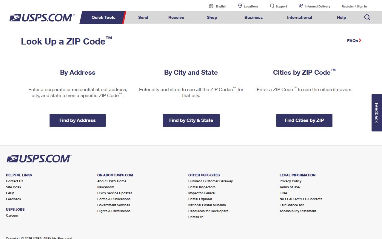
The USPS search screen is the appropriate place to validate postal formatting before a local parcel or tax search begins.
Check the USPS Southgate Post Office location for the official station details.
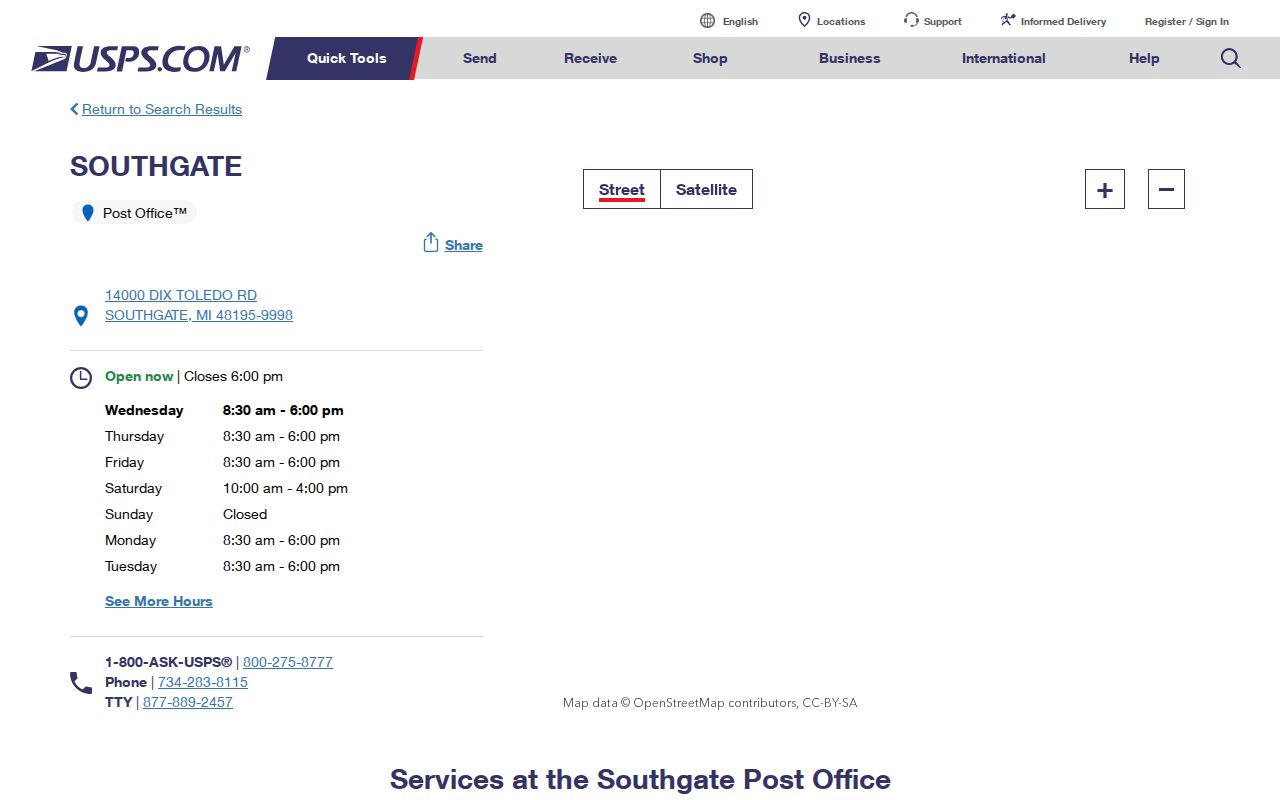
The post-office page confirms the station’s Southgate location and postal designation, not a list of postal customers.
Southgate Postal Search Route
There is no published Southgate portal that returns every resident or every parcel from a ZIP-only search. Work from a specific address within a verified postal area. That keeps the postal step distinct from the local record step and prevents a nearby 48192, 48193, 48183, 48180, 48146, or 48101 result from being mistaken for Southgate.
- Enter the complete street address in USPS address lookup and save the standardized city, postal code, and ZIP+4 result.
- Confirm that the address is actually in Southgate, not merely near its postal or road boundary.
- Search the address, owner name, or parcel number in Southgate BS&A. Its published public search does not promise a ZIP-wide result set.
- Use the Wayne County Parcel Viewer to check the parcel geometry, road context, and parcel key.
- For a delinquent-tax check, use the Wayne Treasurer’s municipality and street fields. It has no ZIP field, so filter Southgate and use the verified street.
- Once the postal area narrows to one street, use the Southgate Street Directory for the address-by-address parcel and deed path.
This method may find a relevant property record, but it does not transform postal geography into a public roster. The local custodian, parcel key, and the purpose of the record still control the result.
Southgate Postal Search Fields
Published search fields show why a postal code is only the first check. USPS accepts address and postal-geography queries, while Southgate’s municipal search focuses on address, name, and parcel identity. Wayne Treasurer search similarly works from municipality, street, and parcel. None of those published local interfaces supplies a confirmed ZIP-wide Southgate output.
| Portal | Field or mode | Result or limit |
|---|---|---|
| USPS lookup | Street address | Standardized address and ZIP/ZIP+4 for the entered address. |
| USPS lookup | City and state | ZIP codes USPS associates with the city. |
| USPS lookup | ZIP to city | Postal city association for a known code. |
| Southgate BS&A | Address, Name, Parcel Number | Municipal/property routes; text interface does not publish ZIP-wide results. |
| Wayne Treasurer listing | Municipality, Street Name, Street Number, Parcel ID | Address or parcel tax-status search; no ZIP field. |
Use a postal code to check delivery context, then use the street address or parcel number to search local records. That division avoids treating a postal label as a parcel identifier.
Southgate Postal and Parcel Keys
A single Southgate address can carry several keys without conflict. USPS uses a standardized street address and postal code. The assessor and BS&A tie the parcel to a situs address and parcel number. Tax notices use a mailing address. The Register of Deeds ties title to legal description, grantor, grantee, and document number. A building record uses the situs, while voter records tie an eligible voter to a residential address and precinct.
That is why an owner mailing address may be outside Southgate while the situs remains in Southgate, and why a deed search may succeed only when the lot, block, or legal description is used. Each record answers a narrow question.
- ZIP
- A USPS postal routing code associated with an address or postal area. It is not a city-limit map or a person record.
- ZIP+4
- The added four digits returned for a specific standardized delivery address, used for more precise mail sorting.
- PO-box ZIP
- A postal code used for post-office boxes. It should not be assumed to describe surrounding street parcels.
- Carrier route
- A mail-delivery grouping used by USPS. It is not a municipal district or a local records-search field.
Southgate Postal Boundary Mismatches
Southgate sits beside Riverview, Wyandotte, Lincoln Park, Allen Park, Taylor, and Brownstown Township. Fort Street/M-85 marks the eastern edge, I-75 reaches the northwest, and Eureka Road crosses the city. Those close borders explain why a nearby address may use another city name, postal code, school district, or parcel custodian. The correct Southgate result is therefore a confirmed address, not a code chosen from a nearby-place list.
The official Michigan ZIP map and USPS material support 48195 as the city’s standard street code. The research did not find official evidence of a Southgate split or realignment. Older postal associations that forward to a 48195 destination do not show that current Southgate street parcels carry several active codes.
View the Wayne County Southgate profile for the local boundary and development context.
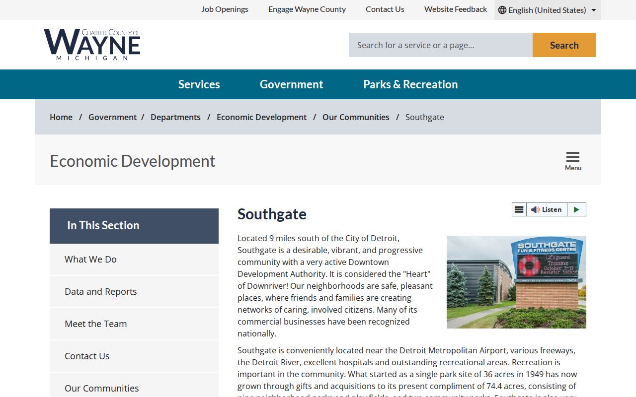
The county profile supplies the local geography that makes a postal comparison different from a municipal-boundary decision.
Southgate Postal Geography History
Southgate’s postal context sits over an older records landscape. The area was part of Ecorse Township, streets were platted in grids beginning in the 1920s, and most development followed World War II. Old Homestead on the east side is among the older residential neighborhoods. The city’s incorporation sequence concluded on October 8, 1958. Those layers explain why an older record may use township, tract, or lot-and-block language instead of a present postal convention.
Use the Southgate city history to keep that municipal history separate from a current USPS result.
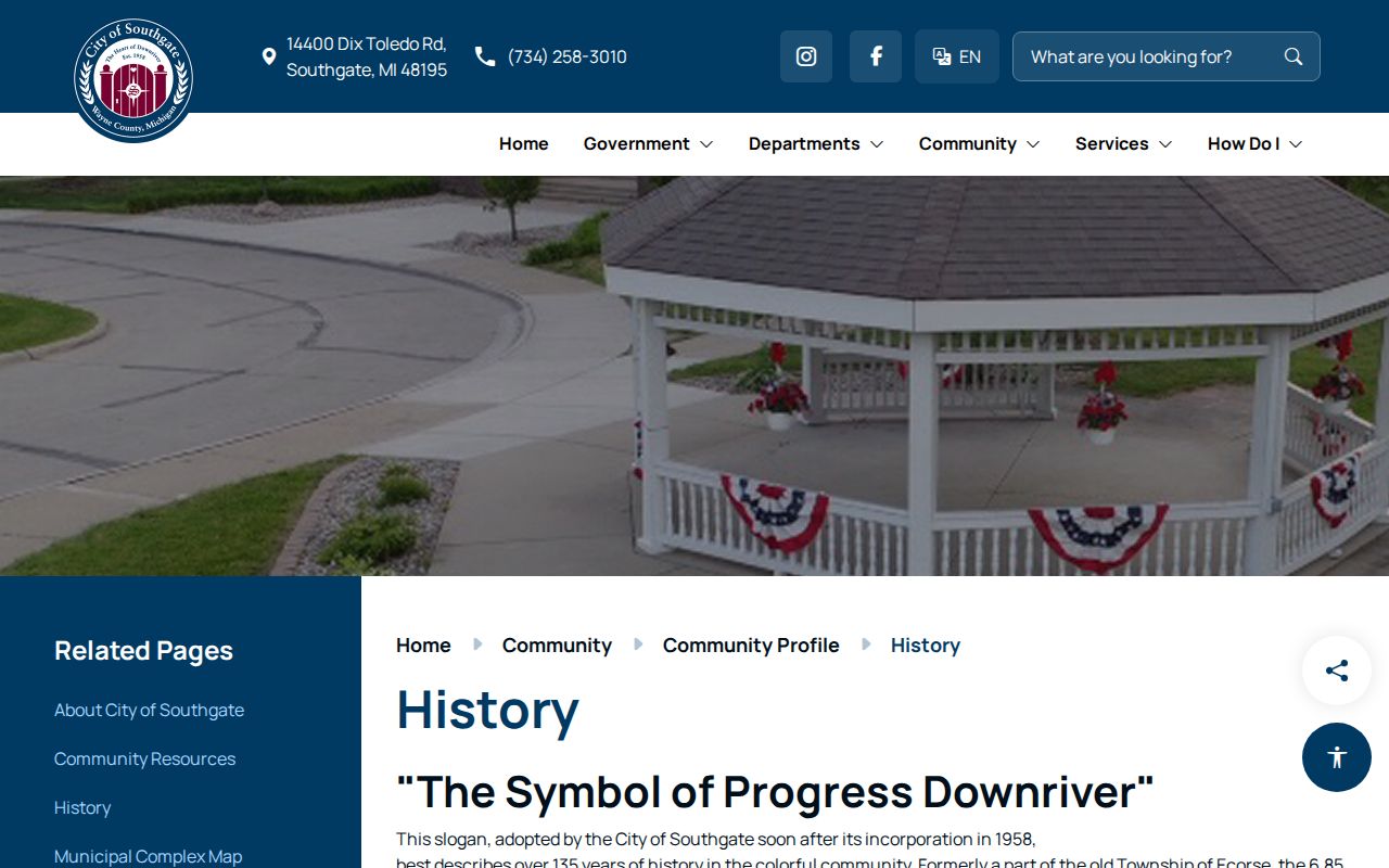
The city-history material gives the former Ecorse Township and postwar context behind today’s Southgate address grid.
Southgate Addressing Standards
Michigan’s statewide NG911 repository provides the statewide context for GIS data standards and emergency-address validation. It does not replace the local city and county sources for a disputed Southgate situs, street suffix, or parcel. For a local addressing question, Southgate Public Services and engineering routes are the practical contacts, while Wayne County GIS provides the regional map context.
Visit the Michigan Statewide NG911 GIS Repository for the state addressing framework.
The statewide repository explains data and addressing standards, while a Southgate parcel question still needs a local record check.
Note: The inspected material did not identify a standalone Southgate address-assignment page or a citywide readdressing project.
Southgate Voter Geography
The Michigan Voter Information Center does not use a postal area as a public resident directory. It is designed for an individual’s registration status, polling place, precinct, districts, ballot information, and clerk route. A Qualified Voter File request can be scoped to the geographies listed on the state form, but its protected fields remain withheld under MCL 168.509gg.
A code does not prove registration, and a voter result does not identify every person at an address. Southgate’s Clerk Office is the local route for public election information and precinct material.
Southgate Postal Search Limits
The Southgate ZIP code directory can verify a postal area, compare nearby codes, and direct an address search to the right local record system. It cannot prove a person’s presence, establish city jurisdiction by itself, or replace a parcel card, deed, or custodian confirmation. USPS, BS&A, Wayne GIS, and the Treasurer each answer different questions.
Use records with care. Postal and address information is appropriate for lawful personal research, family history, estate questions, property research, and civic transparency. Do not use it to stalk, harass, or harm anyone.
When a postal and parcel result conflict, preserve both results and ask the city or county custodian which key controls the record at issue. A missing ZIP-only output is a limit of the search, not a reason to infer who lives in an area.